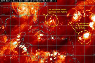
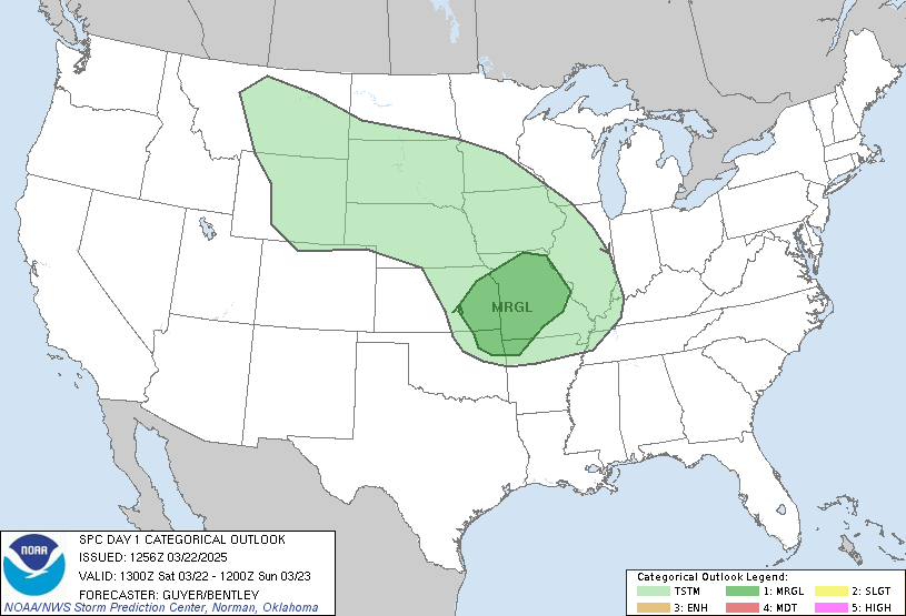
I wanted to put some images up tonight of an East Coast Low that may develop over the next few days. The 18z GFS model run is picking up on this feature. Here are some maps to what may happen. Keep an eye on it.


 *Note - This post is not done by a professional Meteorologist and should not be used for making decisions on safety and protection of property. Always use your local National Weather Service station or the National Hurricane Center for up to date weather information and data.*
SCM


No comments:
Post a Comment