MESOSCALE DISCUSSION 1115
  NWS STORM PREDICTION CENTER NORMAN OK
  1105 AM CDT SAT MAY 31 2008

  AREAS AFFECTED...SRN WV...VA

  CONCERNING...SEVERE POTENTIAL...TORNADO WATCH LIKELY

  VALID 311605Z - 311700Z

  CU FIELD IS EXPANDING RAPIDLY OVER THE HIGHER TERRAIN OF SERN WV AND
  WRN VA AS BOUNDARY LAYER WARMS AND DEEPENS.  SHOWERS ARE BEGINNING
  TO DEVELOP ACROSS MUCH OF THE CNTRL APPALACHIANS SOUTH OF TORNADO
  WATCH 402 AND IT APPEARS THIS TREND WILL ONLY INTENSIFY OVER THE
  NEXT FEW HOURS.  LATEST WV IMAGERY CLEARLY DEPICTS THE EWD
  ADVANCEMENT OF MID LEVEL TROUGH AND ASSOCIATED LARGE SCALE ASCENT
  SPREADING ACROSS THIS REGION.  THUNDERSTORMS SHOULD EVOLVE ACROSS
  SRN WV/WRN VA OVER THE NEXT FEW HOURS...THEN SPREAD OFF THE HIGHER
  TERRAIN WITHIN DEEP WLY FLOW.  SHEAR PROFILES ARE MORE THAN
  SUPPORTIVE OF SUPERCELL GENERATION/MAINTENANCE WITHIN INCREASINGLY
  BUOYANT AIRMASS.  DAMAGING WINDS...ISOLATED TORNADOES AND LARGE HAIL
  MAY BE OBSERVED WITH STRONGEST ACTIVITY.

  ..DARROW.. 05/31/2008


  ATTN...WFO...AKQ...LWX...RNK...RLX...

  38048035 38427578 37227572 37018058
SCM


6 comments:
Do something safer, Mikey. Golf. Or call me, baby. I'm stormy.
You chasing?
I went out and came home around 6pm EST. The storms stayed farther north than i thought they would today, and the visibility was kinda hazy. Looks like the clean air spring chases are behind me. Bring on the humidity, haze and dew points in the 70's. Oh well...
SCM
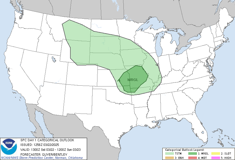
Looks like you spoke too soon, Mikey... don't look now, but guess who's got a moderate risk?! Weather hog.
I know, and I can't chase at all today. Guess I'll be a backyard chaser unless this comes thru after 6pm.
SCM
Darn.
Post a Comment