A couple days ago I mentioned that some of the models were picking up on a possible low pressure system forming off the coast of Costa Rica and moving north into the Gulf of Mexico. Well today more of the models are starting to pick up on this potential development. It is still early and we will continue to watch it, but there is a nice low level circulation on
satellite off the coast of Belize around 17N 88W.
Wind shear is still strong in the Gulf of Mexico making it almost impossible for a system to survive if it makes it that far north, but the models are starting to show a possible weakness in the High over the Gulf that could allow this system to move north and become a tropical depression or tropical storm. Keep an eye on it.
Here is the current models plot. A
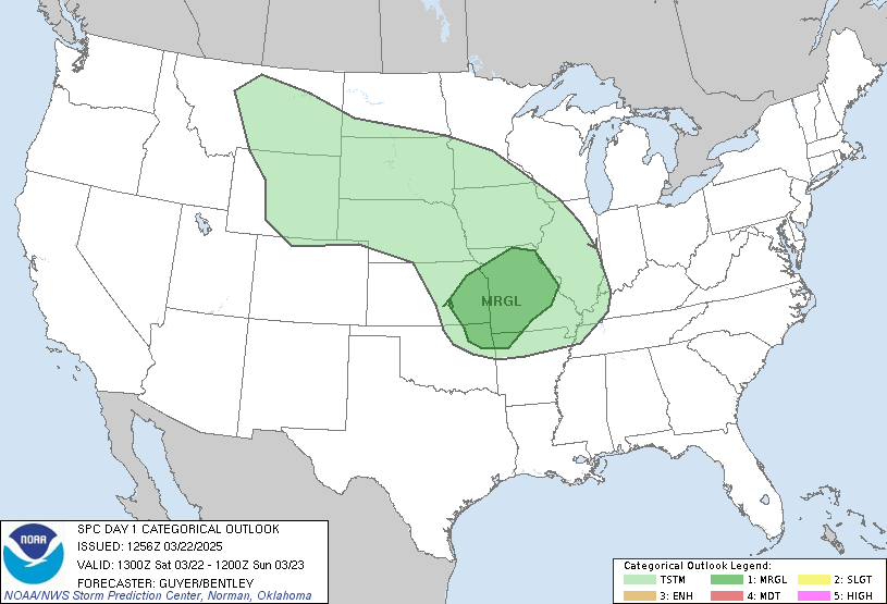
slight risk of severe storms is forecast for our area here in Central North Carolina today, so we are on watch for that as well.

SCM


No comments:
Post a Comment