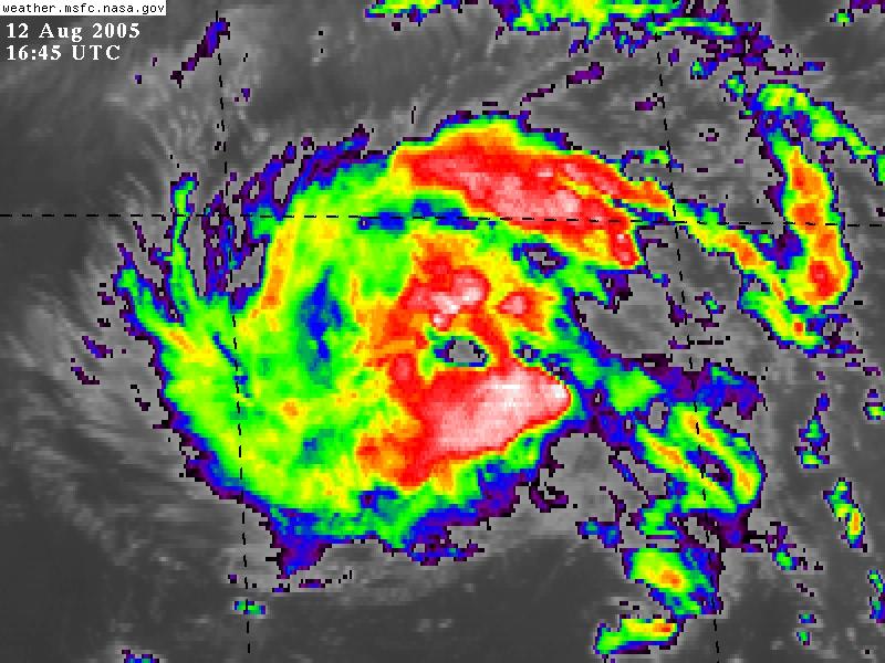
 I am going to keep this mid-day blog post short. Here is what we have going on with Irene at 1:30pm EST today. The hurricane hunters still have not flown into Irene, which is just baffling to me. Is gas too expensive? Come on NHC! The 11am updated track from the NHC has shifted Irene even further off shore than the 5am track. However, if you are watching the satellite loops this morning, Irene appears to have hit a wall around 28-29N and is moving almost due west right now. It also looks like Irene is starting to form an eye and my guess is that she has reached Hurricane strength by now, but we can't confirm this because the hurricane hunters aren't in the storm. My prediction is that we will have Irene upgraded to a Cat 1 Hurricane with the 5pm NHC update, after they get verifying data back from the plane.
 I know there are a lot of local forecasters here in NC and in VA that are writing this storm off as going "out to sea" and no threat. Please wait until we get some verifiable data back from the hunter aircaft before buying this forecast. A shift in movement to the west, as Joe Bastardi has been predicting for days now, looks to be possible. This brings Irene back into play for the NC/VA/MD coastlines. Stay tuned.
Note - This post is not done by a professional Meteorologist and should not be used for making decisions on safety and protection of property. Always use your local National Weather Service station or the National Hurricane Center for up to date weather information and data.*


No comments:
Post a Comment