92L.Invest is looking much more impressive today. The Sahara Dust layer that was limiting convection is almost gone and the
conditions are improving for this system to turn into a Tropical Depression in the next day or so. The sheer size of this system is pretty impressive. Everyone from the Gulf Coast to the East Coast from Miami to Virginia needs to monitor the development of this system. Current tracking
models show this system heading WNW thru the Lesser Antilles islands this weekend. The storm track after that is still up in the air. Everything really comes down to the location of the Bermuda High. If the Bermuda High builds back in and starts ridging down to the south it will have a more Westerly track below or into Florida. If the Bermuda High does not build back in, then the East Coast will come into play. As most of us on the East Coast know, we rely on fronts from the Mid-West to come to the rescue and often block these storms out to sea. If a front does not move in, then it will more than likely make landfall. This is the game we play with Hurricanes during August and September. I'll keep watching this system and will post an update if it becomes Tropical Depression 8 for the season.

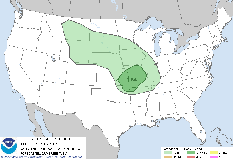
Here locally we are looking at some possible
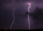
severe storm activity this evening and into the midnight hours. A good lightning show will be welcome. At least the brutal heat is gone. If I get more news on the tropics I'll post later.
SCM
*Note - This post is not done by a professional Meteorologist and should not be used for making decisions on safety and protection of property. Always use your local National Weather Service station or the National Hurricane Center for up to date weather information and data.*


1 comment:
Could you please tell me how to get to the models page on the South Florida Water Management website ?
I can't find the models anywhere on their site, but i see you posted them.
Thanks.
Post a Comment