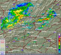
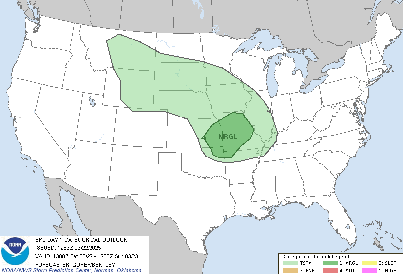
 It's 4:30pm here in central North Carolina and the Storm Prediction Center has its hands full today with active storms all the way from WVa to the East Coast. We're on standby to head out and try to get some great pictures this evening. You can keep track of the local radar and warnings here.
On the Tropical front, we have X-TD10 continuing to fight a very strong Upper Level Low as it moves across the Atlantic. The forecast track for this system; if it can survive, has it just north of the Bahamas on Sunday. Most forecasters think the storm will fizzle out from the low level circulation being exposed by 10-20kt wind shear. However, the 2pm TPC update says conditions could get more favorable in 24-36 hours. This the only real storm to track in the Atlantic at this time. Since we have a family vacation scheduled for Duck, NC next week, we are hoping that a potential Jose goes away.
SCM


No comments:
Post a Comment